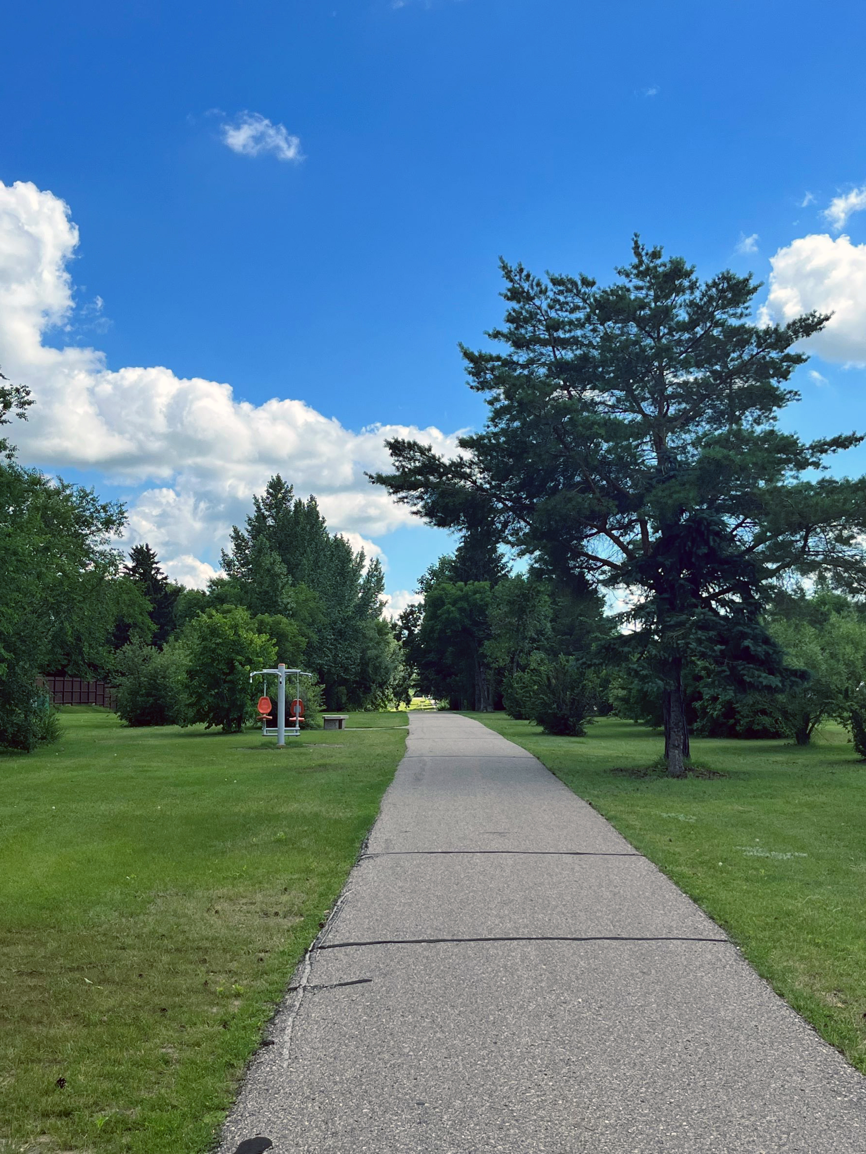
Walking & Biking Trails
Trail Markers
The City of Brandon Parks Section has installed trail markers along with the trail system within the city. These markers are 1 km apart and have been introduced on a route that circulates the city.
The markers are a great way for active people to track the distance that they have travelled as part of their exercise routine. The trail markers can be used by all ages from the novice walker to the long-distance runner. If you wish to travel the whole trail around the city, it has a total length of 20kms. These markers encourage everyone to get active and allow you to travel the distances that best suit your fitness level. Feel free to walk, bike, or run the distance that you desire.
The trail markers are also helpful in case of an emergency. If a person should become injured or ill along with the trail system the marker identification can be given to 911 and fire/ emergency and police services will know where they are located.
Share the Road
The Share the Road Project is identified as a preferred route for cross-town bicycle traffic which would allow for connections to work, recreation, and commercial areas along the way. The Share the Road Bicycle Corridor is a shared section of road across the City from the West end of the City to the East along Lorne Avenue, stretching over 43 city blocks. The route connects to existing pedestrian pathways that run along the perimeter of the city.
The Share the Road route passes by many businesses/institutions within the core of the city, such as the Brandon Regional Hospital, Brandon University, Brandon YMCA, Manitoba Hydro, Manitoba Provincial Building, the Renaissance Brandon "Downtown Hub", and passes four City Parks (Rideau Park, Princess Park, Stanley Park and Coronation Park).